 vesseltracker.com
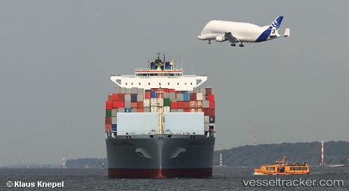
Vessel MSC TIANPING IMO: 9305489, MMSI: 636020495 Container Ship
UTC, 39.88536, 1.11631, course: 58, speed: 12.6
UTC, 40.18199, 1.76417, course: 56, speed: 12.7
2026-02-23 00:27:24 UTC, 40.42590, 2.27782, course: 57, speed: 12.4
Live AIS position:
UTC. 17 nm SW of Sindhos),
updated 2026-02-23 00:27:24 UTC.
Find the position of the vessel MSC TIANPING on the map. The latter are known coordinates and path.
marine traffic ship tracker show on live map
The current position of vessel MSC TIANPING is 40.42590 lat / 2.27782 lng. Updated: 2026-02-23 00:27:24 UTCCurrently sailing under the flag of Liberia
MSC TIANPING built in 2006 year
Deadweight:
101491 tDetails:
Last coordinates of the vessel:
UTC, 39.62604, 0.59264, course: 55, speed: 12.6UTC, 39.88536, 1.11631, course: 58, speed: 12.6
UTC, 40.18199, 1.76417, course: 56, speed: 12.7
2026-02-23 00:27:24 UTC, 40.42590, 2.27782, course: 57, speed: 12.4